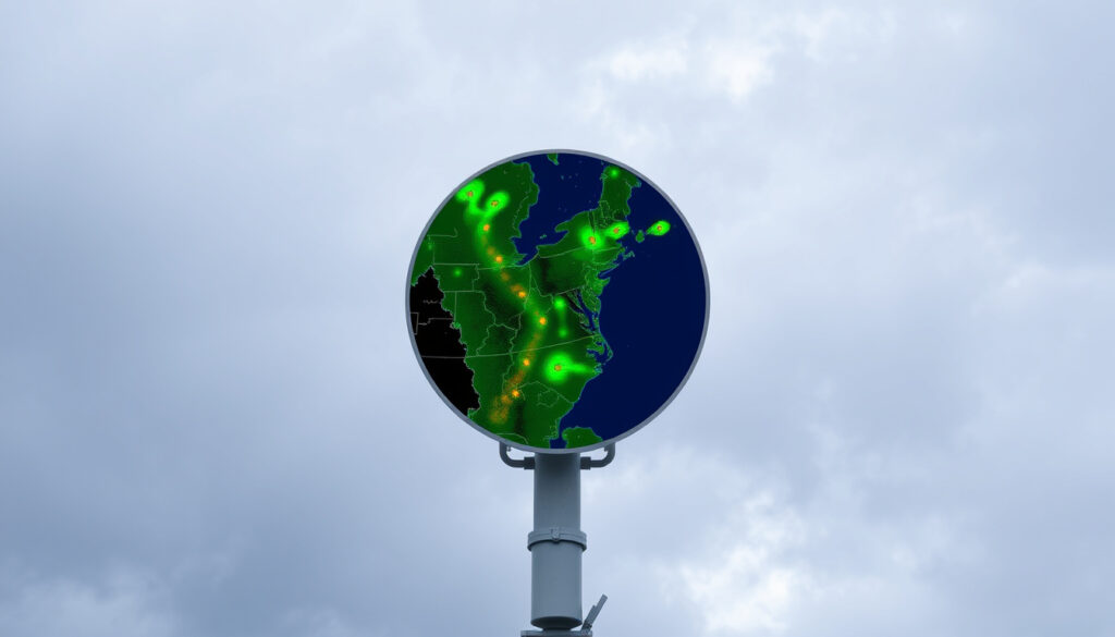
Met Office Rainfall Radar: How It Works and How to Use It
There’s a reason the Met Office rainfall radar is one of the most visited pages on its website: it gives you the power to see where rain is falling right now, and where it’s heading next. Whether you’re planning a weekend walk or wondering if the afternoon commute will be dry, this free map turns raw radar data into something you can act on. Here’s how to read it and get the most out of it.
Number of radar sites in the UK: 15 · Update frequency of Met Office radar: Every 5 minutes · Forecast range on radar map: Up to 5 days · Observation history length: Last 48 hours · Precipitation types detected: Rain, sleet, snow
Quick snapshot
- 15 radar sites across the UK (Met Office official radar map)
- Uses microwave pulses to detect precipitation (Met Office explainer video)
- Updated every 5 minutes (Met Office explainer video)
- Detects rain, sleet, and snow (Met Office radar map)
- Official page at Met Office website (Met Office radar map)
- Mobile app available for iOS and Android (Met Office app page)
- Free to use without account (Met Office radar map)
- Works on any modern browser (Met Office radar map)
- Colour key shows rainfall intensity (Met Office Hazard Manager guide)
- Light rain shown as blue, heavy as red or purple (Met Office explainer video)
- Past images for last 48 hours (Met Office radar map)
- Forecast up to 5 days ahead (Met Office radar map)
- Check rain in next 24-48 hours (Met Office radar map)
- Plan outdoor activities (Met Office radar map)
- Combine with other weather data (Met Office explainer video)
- Use for travel and event planning (Met Office radar map)
Six key details, one takeaway: the radar map packs a lot of data into a single view, and knowing where those numbers come from helps you interpret them faster.
| Detail | Value |
|---|---|
| Number of radar sites | 15 |
| Update interval | Every 5 minutes |
| Forecast range | Up to 5 days |
| Observation history | Past 48 hours |
| Detected precipitation types | Rain, sleet, snow |
| Cost to access | Free |
How does the Met Office rainfall radar work?
What technology does the radar use?
- The Met Office operates 15 radar sites across the UK (Met Office official radar map). Each site emits pulses of microwave energy. When those pulses hit precipitation, some energy bounces back. The radar measures the time delay and strength of the return signal to calculate where rain, sleet, or snow is falling and how hard (Met Office YouTube explainer).
- Raw data from all sites is sent to the Met Office Headquarters in Exeter, where it’s stitched into a single composite image covering the British Isles (Met Office YouTube explainer).
How is the radar data processed?
- The composite picture is created every 5 minutes (Met Office radar map). The image resolution can be as fine as 1 km (Met Office YouTube explainer).
- Once processed, the radar data is combined with rainfall gauge readings from a network of hourly gauges across the UK (Met Office Hazard Manager user guide – official documentation).
For the typical UK user, the 5-minute refresh means you can watch a rain band approach almost in real time – useful for last-minute decisions on everything from hanging laundry to heading out for a walk.
The implication: the rain you see on the map is less than 5 minutes old, making short-term nowcasting more reliable than any forecast model for the next couple of hours.
How do I view the Met Office rainfall radar map?
Where is the official radar map located?
- The radar map lives at weather.metoffice.gov.uk/maps-and-charts/rainfall-radar-forecast-map (Met Office official radar map page). No login or account is required.
- It works on any modern browser – Chrome, Firefox, Safari, Edge – and on both desktop and mobile devices.
How do I access the radar on the Met Office website?
- On the Met Office homepage, click “Maps and charts” in the top navigation, then select “Rainfall radar forecast map” (Met Office navigation path).
- The map loads as an interactive layer. You can pan and zoom to any location in the UK (Met Office app page).
Can I view the radar on a mobile app?
- Yes – the free Met Office Weather Forecast app includes the same interactive radar view (iOS App Store – Met Office app). The app is available on iOS and Android.
- On the app, tap the map icon to toggle radar layers on and off.
The map works offline? No – you need an internet connection. But if you’re in a low-signal area, loading the map before you head out and using the “last 6 hours” slider can still give you a useful snapshot.
The catch: while the desktop map loads more data at once, the mobile version is easier to use one-handed when you’re on the move.
What information does the Met Office rainfall radar provide?
What do the colours on the radar map mean?
- The map uses a colour scale from blue to purple. Light rain is shown as blue; moderate rain as green and yellow; heavy downpours as orange, red, and deep purple (Met Office Hazard Manager guide – official colour legend).
- The legend is always visible in the corner of the map.
How do I interpret precipitation rates?
- Radar detects rainfall rates in millimetres per hour (Met Office Hazard Manager guide). Blue typically means less than 1 mm/h; purple can exceed 32 mm/h.
- The rain rate layer provides a forecast of rainfall intensity and how it varies spatially and with time (Met Office Hazard Manager guide).
Can I see past radar images?
- Yes – the map shows observed radar images going back 48 hours (Met Office radar map). Use the time slider below the map to scrub through the timeline.
- The previous 6 hours are shown at 15-minute intervals; the 18 hours before that are shown at 3-hour intervals (Met Office Hazard Manager guide).
Radar shows precipitation, not cloud cover. Clear skies on the map don’t mean blue sky overhead – just that no rain is falling at that location.
The trade-off: the 48-hour observation history is generous, but remember that the oldest images are composites of 18+ hours of data and should be used for trend analysis, not minute-by-minute planning.
How can I use the Met Office rainfall radar for planning?
How do I check if it will rain in the next 24 hours?
- On the radar map, switch to “Forecast” mode using the button at the top right. The forecast radar extends up to 5 days (Met Office radar map).
- Short-term forecasts (0-6 hours) are most accurate because they blend real radar observations with high-resolution models. The Met Office uses a “blended” layer that shows how weather has progressed over the previous 6 hours and how it is expected to develop over the following 6 hours (Met Office Hazard Manager guide).
How do I use the forecast radar for the next 5 days?
- Drag the time slider forward to see predicted rainfall for the coming days. The further ahead you look, the more the forecast relies on numerical weather prediction models, so expect lower precision beyond 48 hours (Met Office weather models guide).
How accurate is the short-term forecast from radar?
- Short-term (0-6 hours) radar-based nowcasting is significantly more reliable than a 5-day forecast because it anchors on actual measurements. Accuracy drops as the forecast horizon increases (Royal Meteorological Society – weather radar overview).
“Weather radar measures the location and intensity of precipitation in real time.”
Met Office, official explainer video
“The composite radar picture is displayed using colours to denote different intensities.”
Met Office, official explainer video
For event planners and commuters in the UK, the decision is simple: check the blended radar layer for the next 6 hours; beyond that, use the forecast map as a trend indicator, not a guarantee.
What are the differences between Met Office radar and other radar services?
How does Met Office radar compare to Met Éireann radar?
- Met Éireann, the Irish meteorological service, provides radar for Ireland. It updates every 15 minutes, compared to the Met Office’s 5-minute refresh (Met Éireann radar page).
- Both use similar technology but cover different geographical areas. The Met Office composite covers the British Isles, while Met Éireann focuses on Ireland.
How does it compare to Netweather or Weather & Radar Ireland?
- Third-party services like Netweather and Weather & Radar often source their radar data from the Met Office or other national services. They may add extra layers (e.g., lightning, storm tracks) but with a time lag.
- The official Met Office map gives the freshest data because it comes directly from the composite before it’s redistributed (Met Office radar map).
Third-party apps sometimes offer prettier visuals or smartphone widgets, but you lose the raw update speed and the official interpretation of the data.
For anyone in the UK relying on radar for daily decisions, sticking with the official Met Office source avoids a 5-15 minute data delay that can matter when a shower is minutes away.
Related reading: **UK Heavy Rain Weather Warning – Affected Areas, Risks and Advice** · **BBC Weather Great Yarmouth: 10-Day Forecast & Updates**
meteomatics.com, nesdis.noaa.gov, youtube.com, metoffice.gov.uk
For a deeper look at how the network operates and how to interpret the maps, see this Met Office rainfall radar guide.
Frequently asked questions
Is the Met Office rainfall radar free to use?
Yes – the radar map and the Met Office app are both free. No subscription or account needed.
Can I see the rainfall radar for my location?
Yes – just pan or zoom to your area on the interactive map. You can also search for a town or postcode.
How do I turn on the rainfall radar on the Met Office website?
Go to the rainfall radar forecast map page. The radar layer is on by default. You can toggle the “Rain” and “Forecast” overlays.
What time zone does the radar map use?
The map uses UK local time (BST during summer, GMT during winter). The time stamp is shown at the bottom of the map.
Does the radar work at night?
Yes – radar uses microwave pulses, so it works in darkness and through cloud cover. Rain and snow are detected 24/7.
How does the Met Office radar handle fog or mist?
Radar is less effective at detecting fog and mist because the water droplets are too small to reflect the microwave pulses. For fog, check visibility forecasts instead.
Why does the radar sometimes show no data?
Radar data gaps can occur during maintenance, technical faults, or when the radar beam is blocked by mountains. The Met Office fills gaps using neighbouring radars and model data.
For UK residents who plan outdoor activities more than once a week, the choice is clear: master the 5-minute radar update, use the blended forecast for the next 6 hours, and you’ll rarely get caught in a downpour again.
More related posts
 Mark Calaway: The Undertaker’s Height, Retirement & Real Life
 Kaitlyn Dever: Biography, Career, Controversies, and Latest News
 Snakes and Ladders Brentford: Session Times, Prices and Parking
 Ed Bye: Director of Red Dwarf, Bottom, and Vicar of Dibley
 How Much Protein Should I Eat – Calculator and Needs Guide
 Mr Incredible: Powers, Voice Actor, Meme Explained
 High Red Blood Cell Count: Causes, Symptoms & When to Worry
 Brianne Howey: Accent, Husband, Kids, and Biography
